Overview
The Charleston neighborhood map is your essential guide to navigating the city’s 25 unique districts! Each area boasts its own distinct architectural styles and historical landmarks, making it a joy for both residents and visitors to explore the rich cultural tapestry that Charleston has to offer. This map isn’t just a tool; it’s an invitation to discover the vibrant urban design, historical significance, and community features that define the city.
As you dive into the map, you’ll see how it enhances your understanding of Charleston’s heritage. It’s like having a well-traveled friend by your side, sharing tips and stories that bring the city to life! I can’t wait for you to experience the excitement of engaging with the local culture, uncovering hidden gems, and appreciating the beauty around every corner. So grab your map and let the adventure begin!
Key Highlights:
- The Charleston neighbourhood map is essential for navigating the city’s 25 districts, each with unique architectural styles and historical landmarks.
- North Charleston’s population is projected to grow by 21% from 2014 to 2024, increasing the relevance of the neighbourhood map for understanding urban layout.
- Charleston’s racial demographics show a diverse community, with 70.6% White and 17.3% Black or African American residents.
- Healthcare is a significant employment sector in Charleston, accounting for 14.0% of local jobs.
- The map allows for customization, enabling users to add markers and personalise features for a tailored exploration experience.
- Charleston’s urban design reflects a blend of colonial influences and modern planning, emphasising walkability and green spaces.
- The French Quarter and historic district showcase the city’s rich artistic and architectural heritage, with the neighbourhood map serving as a guide to these narratives.
- In 2022, Charleston attracted 7.68 million visitors, highlighting its appeal as a living museum of history and culture.
- The International African American Museum, opened in July 2023, enhances the understanding of African Americans’ contributions to Charleston’s history.
- The map illustrates various architectural styles, including Georgian, Federal, and Gothic Revival, contributing to the city’s aesthetic diversity.
Introduction
The Charleston neighborhood map is your vibrant gateway into the heart of one of South Carolina’s most storied cities! It reveals a rich tapestry of diverse districts, each with its own unique character and history. This essential tool not only helps you navigate but also invites you to explore the architectural styles, cultural landmarks, and community features that define Charleston’s urban landscape. As the city continues to evolve with a growing population and modern developments, you might wonder: how can you truly grasp the intricate interplay between historical significance and contemporary life within these neighborhoods?
Define the Charleston Neighborhood Map
The Charleston neighborhood map serves as an essential visual resource that showcases the different districts within this charming South Carolina city. If you’re a resident or a visitor, the Charleston neighborhood map is essential for exploring distinct areas, each defined by unique architectural styles, historical landmarks, and community features. With a total of 25 districts contributing to the city’s rich tapestry, the Charleston neighborhood map not only helps you navigate but also embodies the essence of the urban landscape.
Imagine the dynamic interaction between historical significance and modern life! This map allows you to appreciate the various cultural stories that each community represents. As North Charleston, with a growing population of 869,940, continues to expand—experiencing a 21% rise from 2014 to 2024—using the Charleston neighborhood map becomes increasingly important for understanding the layout of these areas, fostering connections, and enhancing your travel experience.
Diversity is another beautiful aspect of Charleston, with the racial demographics revealing a community that is 70.6% White and 17.3% Black or African American. The communities here play a vital role in supporting local industries, with healthcare accounting for 14.0% of employment in the area. Plus, the Charleston neighborhood map offers customizable features, allowing you to add location markers and personalize colors, which makes it even more useful and appealing for your adventures!
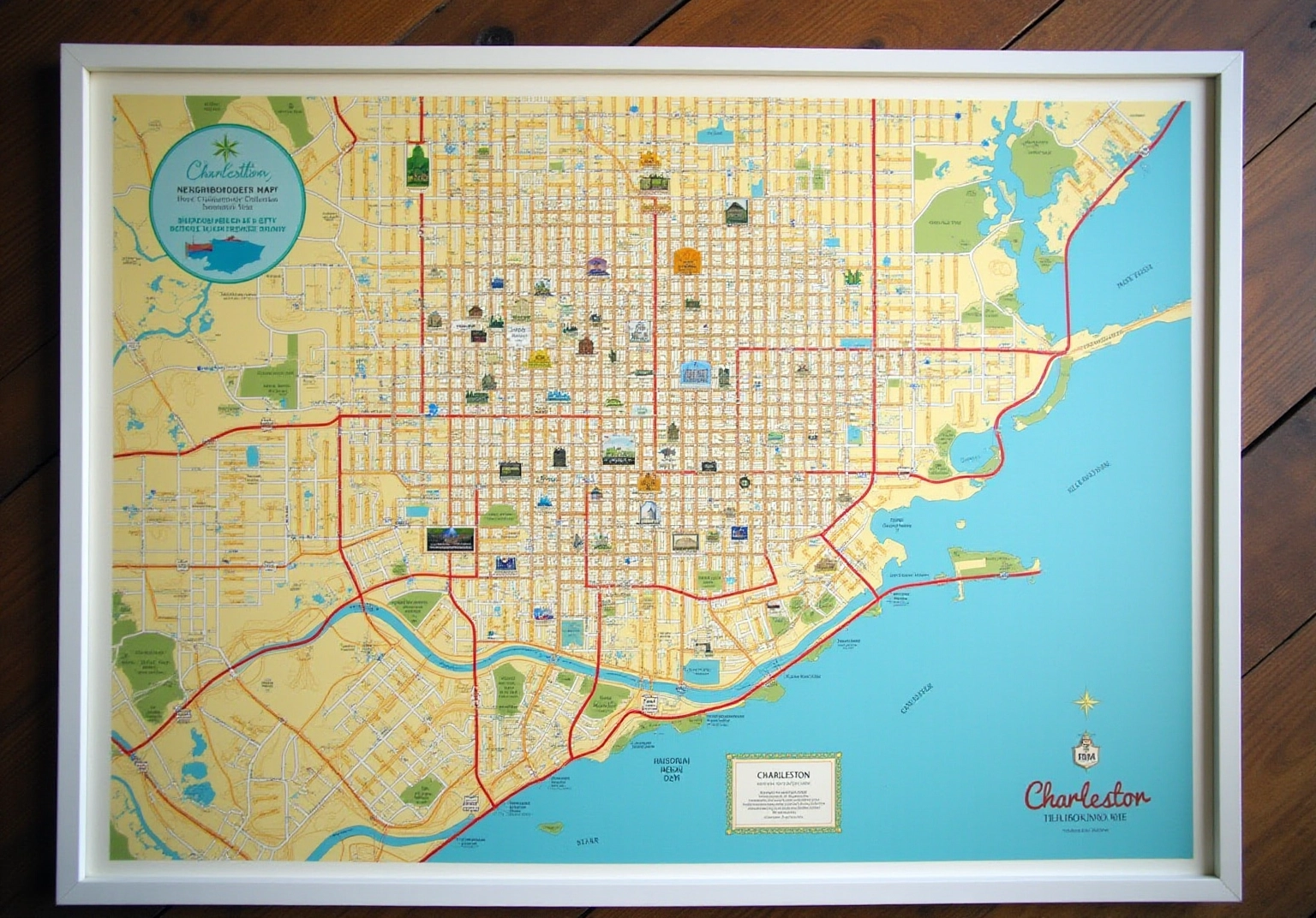
Explore the Context of Charleston’s Urban Design
The urban design of the city is like a tapestry woven from its rich history and modern planning principles, reflecting a unique blend of colonial influences and contemporary needs. Founded in 1670, the city has transformed into a vibrant hub that expertly balances preservation with growth.
Imagine exploring a Charleston neighborhood map that acts as a visual narrative of this evolution, showcasing areas that maintain their historical charm alongside innovative developments! Key design features, such as the grid layout of the historic area and the thoughtful integration of green spaces, highlight the city’s commitment to creating a walkable and visually appealing environment.
Understanding this context is crucial for appreciating how the communities engage and together form the unique identity of the city. So, are you ready to discover more about this fascinating place?

Examine the Historical and Cultural Significance
Charleston’s districts are bursting with historical and societal significance, each one showcasing the city’s diverse heritage! Take the French Quarter, for example—it’s famous for its vibrant artistic history and cultural scene. Then there’s the historic district, where antebellum architecture tells the story of the city’s past. The Charleston neighborhood map is a fantastic tool for diving into these rich narratives, allowing you to engage with local culture through architecture, art, and community events.
With a whopping 7.68 million visitors in 2022, it’s clear that the city’s charm as a living museum shines through, where every street and building has a tale to tell! And don’t miss the International African American Museum, which opened in July 2023. It adds even more depth to this narrative by highlighting the vital contributions of African Americans to the city’s history.
Understanding these historical contexts not only deepens your appreciation for Charleston but also fosters a meaningful connection to its cultural heritage. Each visit becomes an enriching experience, inviting you to discover something new every time!
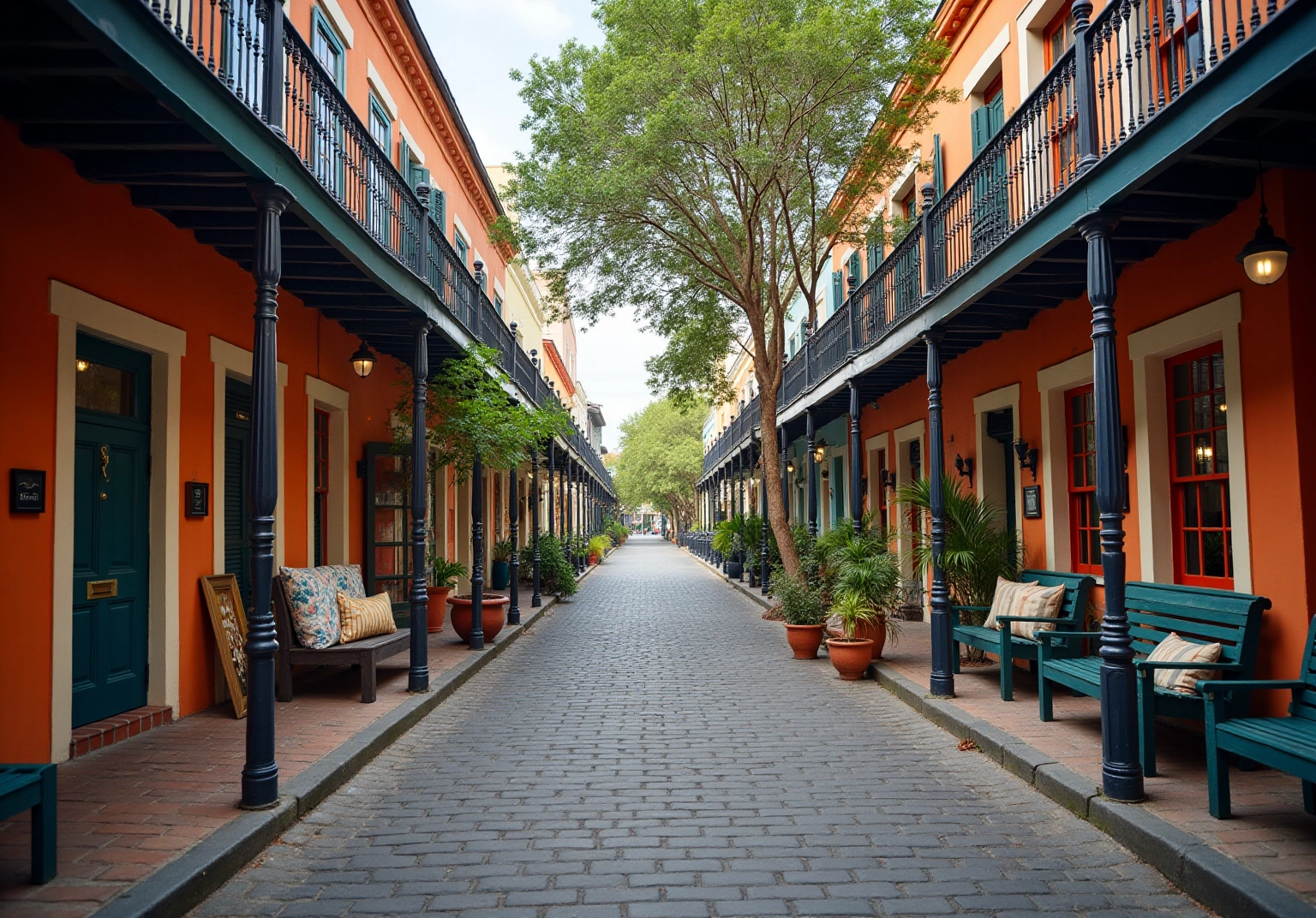
Identify Key Features and Design Elements
The charleston neighborhood map highlights the key attributes and design elements that define the city’s unique districts. You’ll find a delightful mix of architectural styles here—think Georgian, Federal, Greek Revival, Gothic Revival, and Italianate—all contributing to the city’s rich aesthetic diversity. Public spaces like Waterfront Park and Marion Square are thoughtfully integrated, inviting you to engage with the community and enrich your urban experience. These spots serve as vital gathering places that encourage social connections among residents and visitors alike!
And let’s not forget about the local amenities! The charleston neighborhood map highlights charming shops, delicious restaurants, and important institutions that are essential to the identity of each neighborhood. As Karen LeBlanc, a travel host and writer for The Design Tourist, beautifully puts it, “Every destination has a story to tell through its local art, architecture, culture, and craft.” This perspective inspires you to appreciate the breathtaking architecture and regional artistry that define the city.
By illustrating these elements, the charleston neighborhood map transforms into more than just a navigational guide; it’s a heartfelt tribute to Charleston’s vibrant architectural and cultural heritage. So, grab your map and get ready to explore—there’s so much waiting for you to discover!
Conclusion
The Charleston neighborhood map is truly an invaluable companion for both residents and visitors alike! It captures the essence of this historic city through its diverse districts and rich cultural narratives. Not only does this visual resource help you navigate the area, but it also showcases the unique architectural styles, community features, and historical significance that define Charleston. It’s essential for anyone eager to explore!
As you delve into the article, you’ll discover key themes that highlight the dynamic interplay between Charleston’s historical roots and its modern urban design. From the charming streets of the French Quarter to the thoughtfully integrated green spaces, each district tells a story of growth and preservation. This map invites you to engage with the local culture, architecture, and community events that make Charleston feel like a vibrant living museum.
Ultimately, the Charleston neighborhood map is more than just a guide; it’s your gateway to uncovering the city’s multifaceted identity. By embracing the rich heritage and diverse communities showcased on the map, you can forge meaningful connections with Charleston’s past and present. Whether you’re planning a visit or rediscovering the city, using the neighborhood map will undoubtedly enhance your experience and appreciation of this remarkable urban landscape!
Frequently Asked Questions
What is the purpose of the Charleston neighborhood map?
The Charleston neighborhood map serves as a visual resource that showcases the different districts within Charleston, helping residents and visitors explore areas defined by unique architectural styles, historical landmarks, and community features.
How many districts are represented on the Charleston neighborhood map?
The map includes a total of 25 districts that contribute to the city’s rich tapestry.
Why is the Charleston neighborhood map important for understanding the city?
The map helps users navigate the city, appreciate the cultural stories of each community, and understand the layout of areas, which is especially important as North Charleston’s population continues to grow.
What is the racial demographic composition of Charleston?
The racial demographics of Charleston reveal that the community is 70.6% White and 17.3% Black or African American.
What role do the communities in Charleston play in the local economy?
The communities support local industries, with healthcare accounting for 14.0% of employment in the area.
Does the Charleston neighborhood map have customizable features?
Yes, the Charleston neighborhood map offers customizable features, allowing users to add location markers and personalize colors for a more tailored experience.


